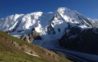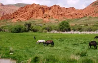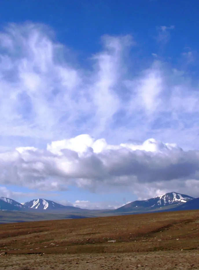

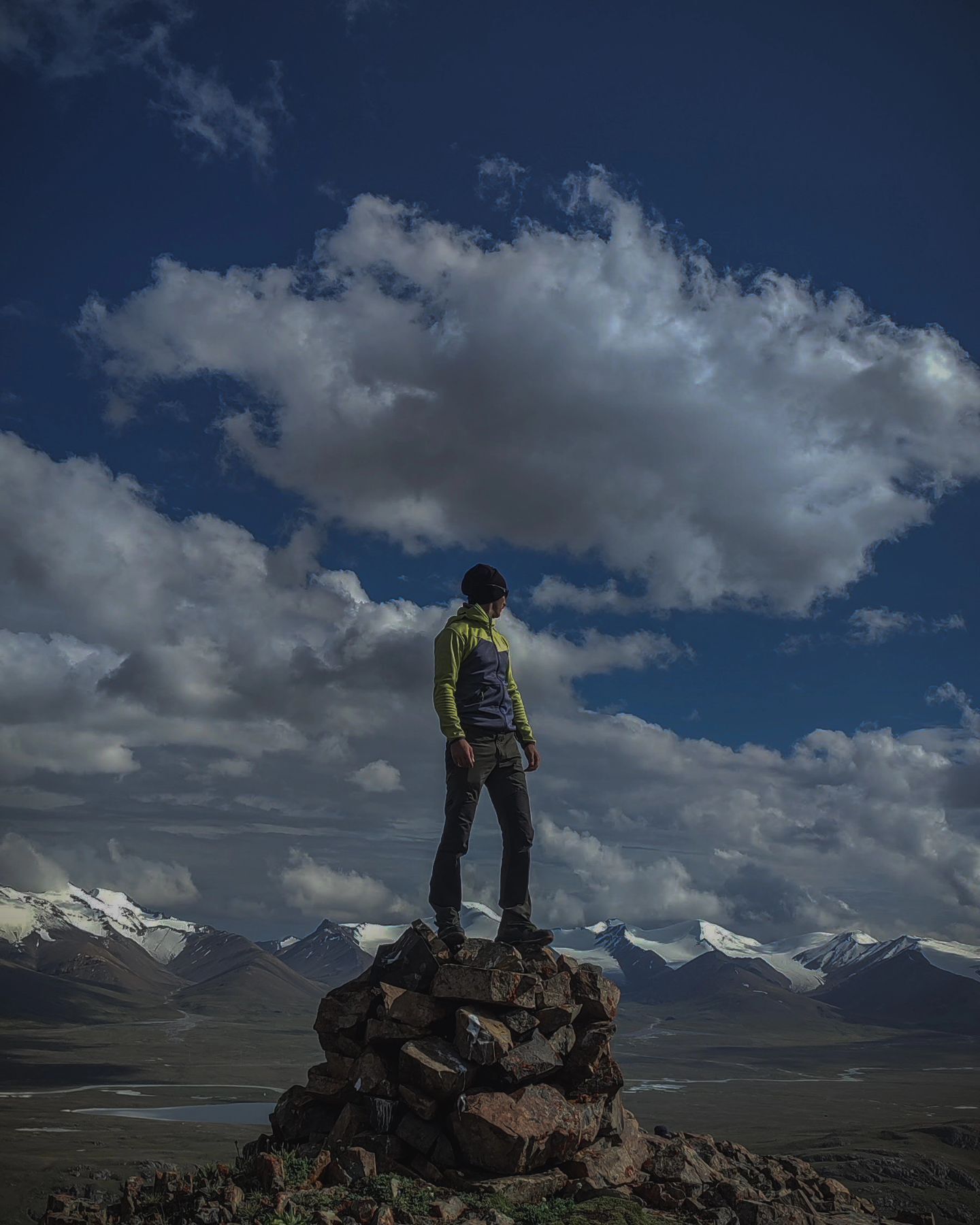
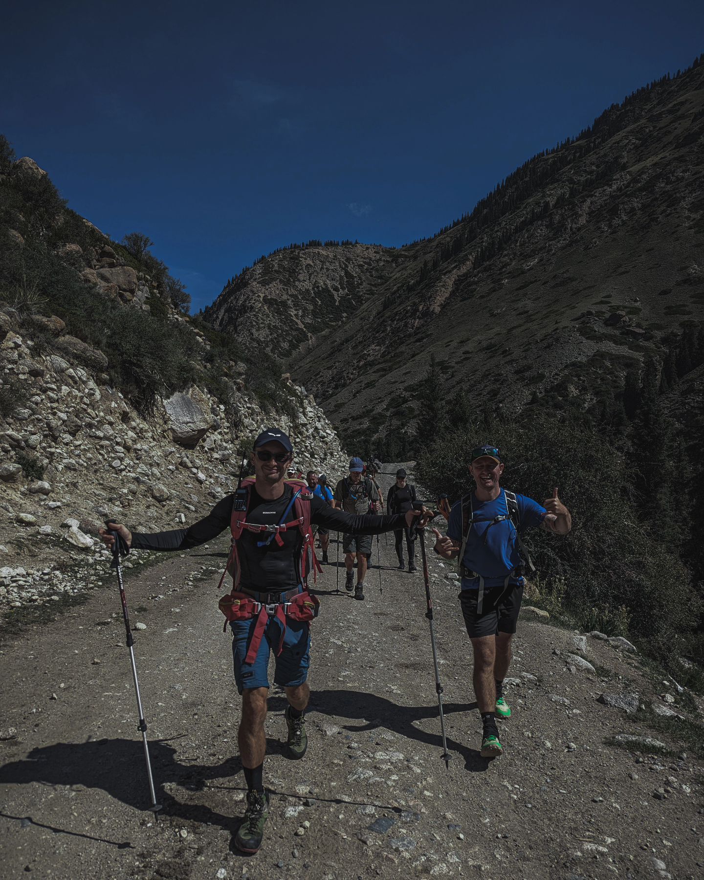
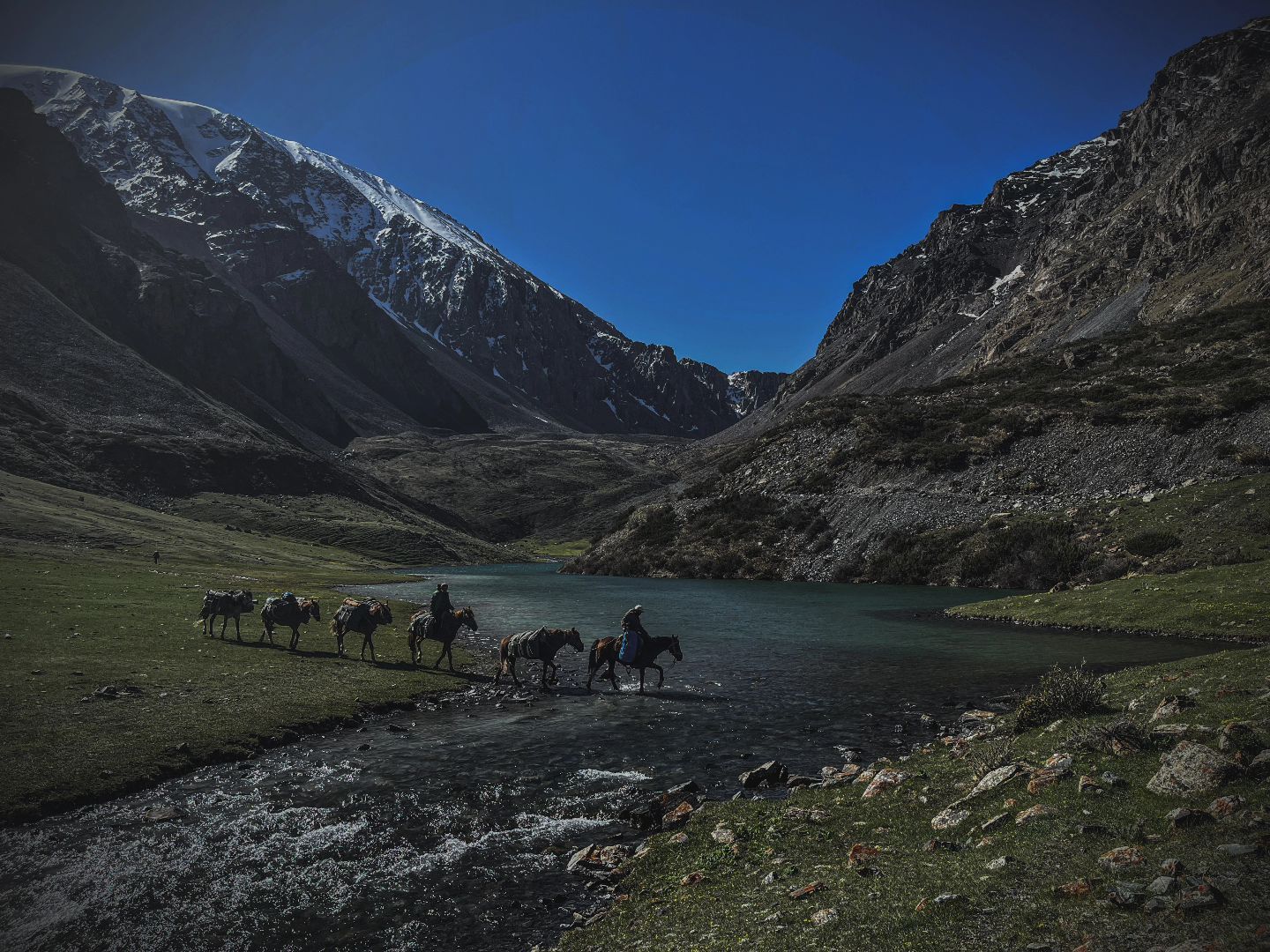
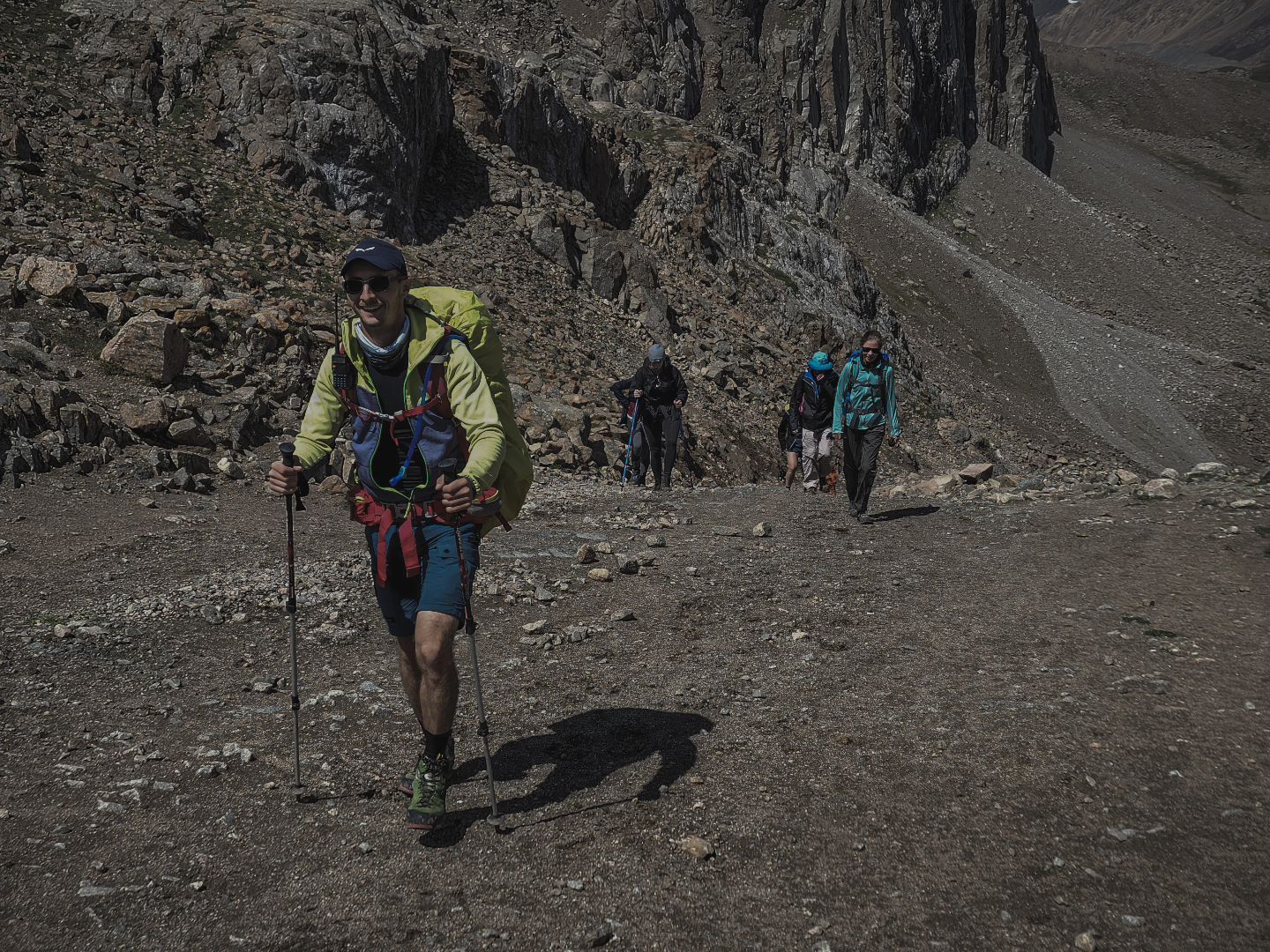
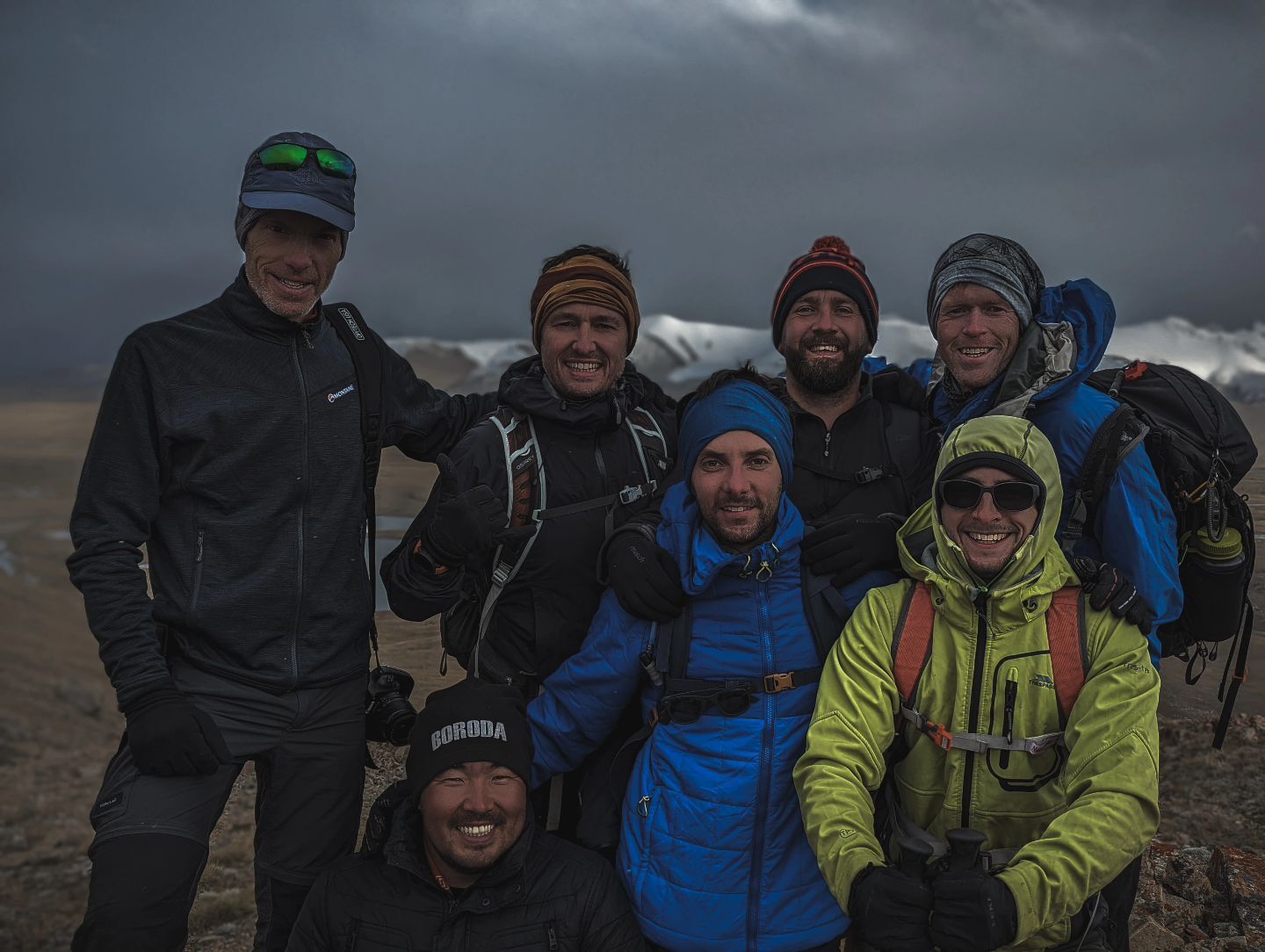
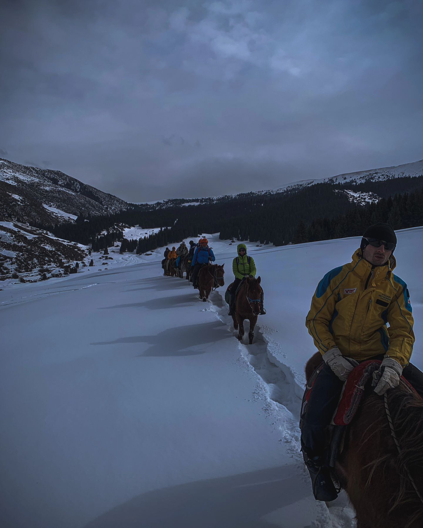
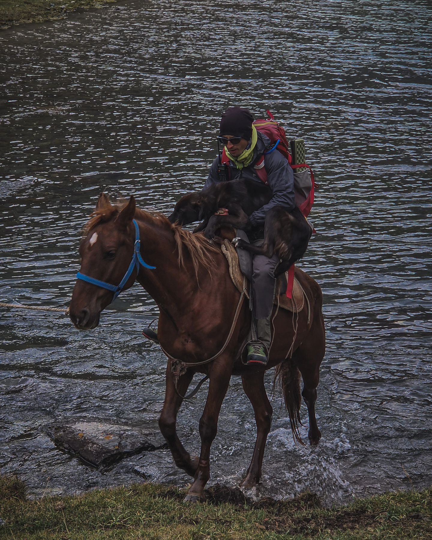
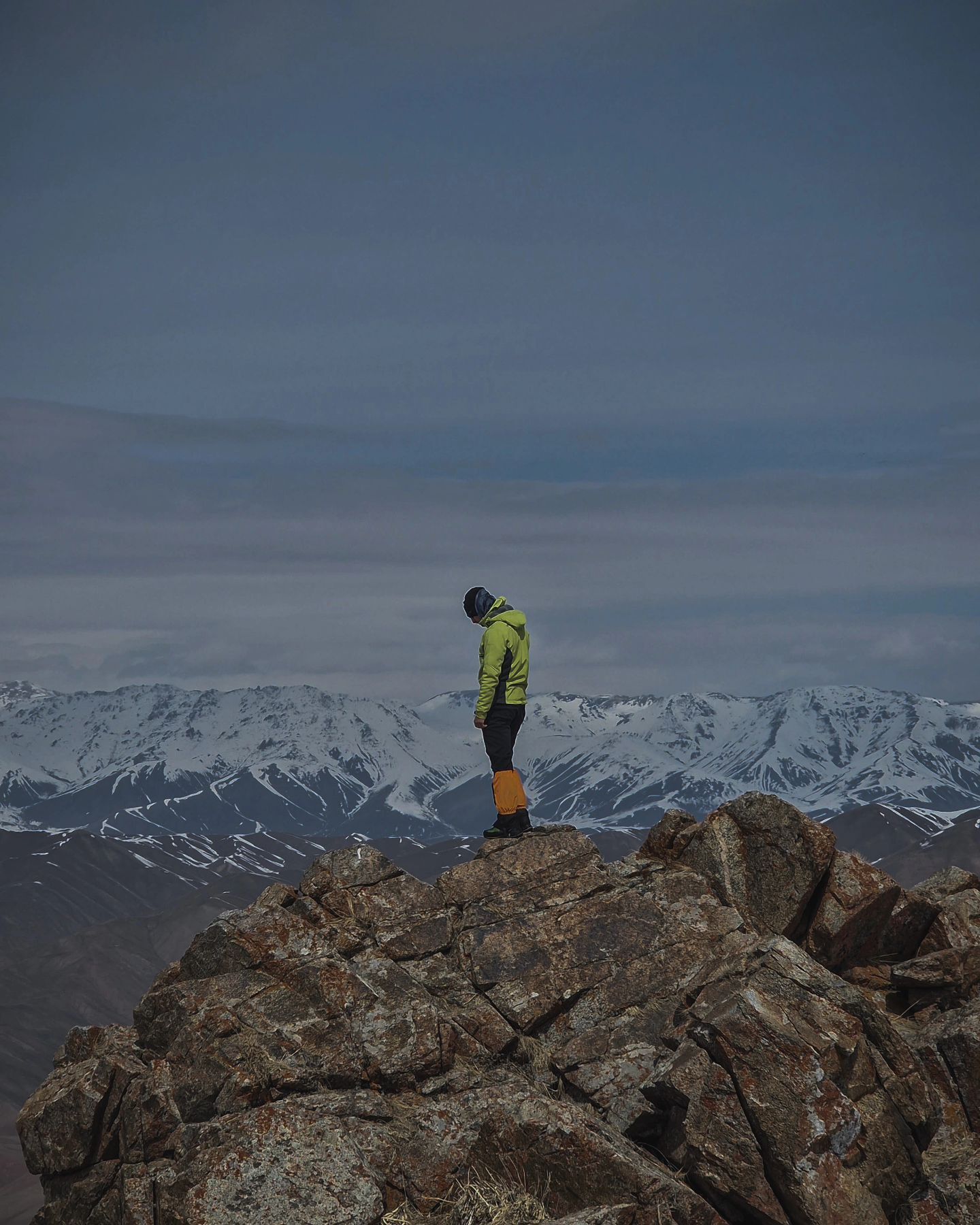
Juku valley KG
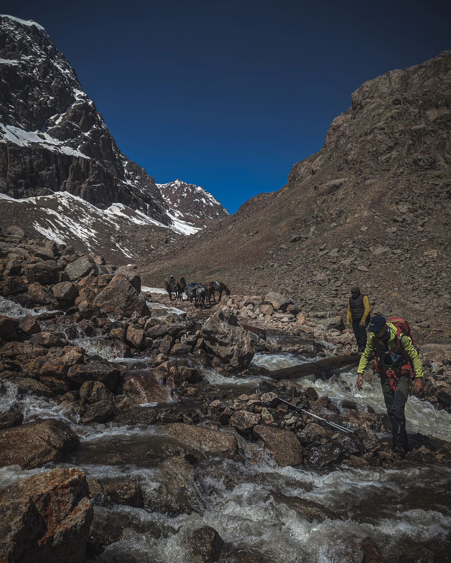
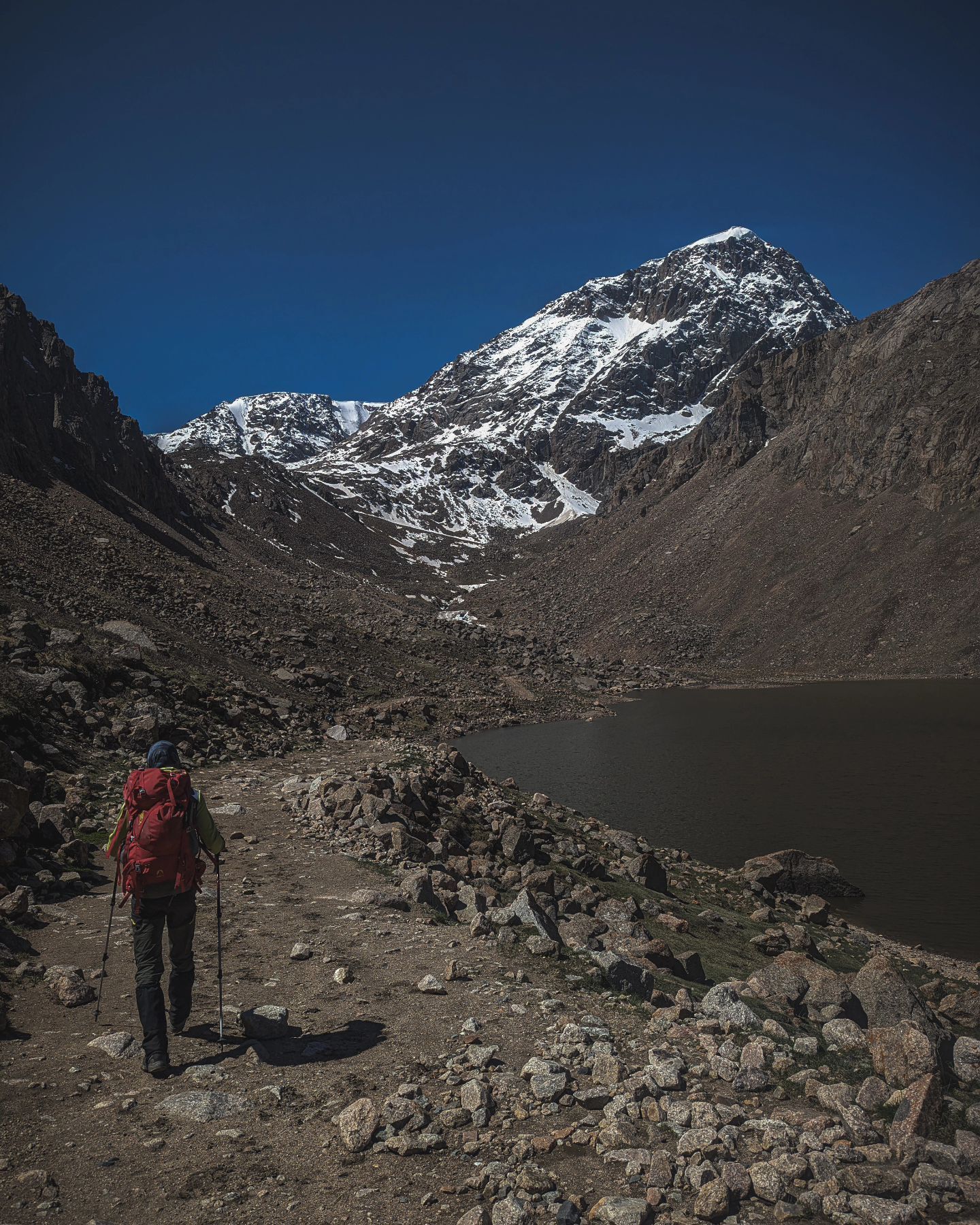
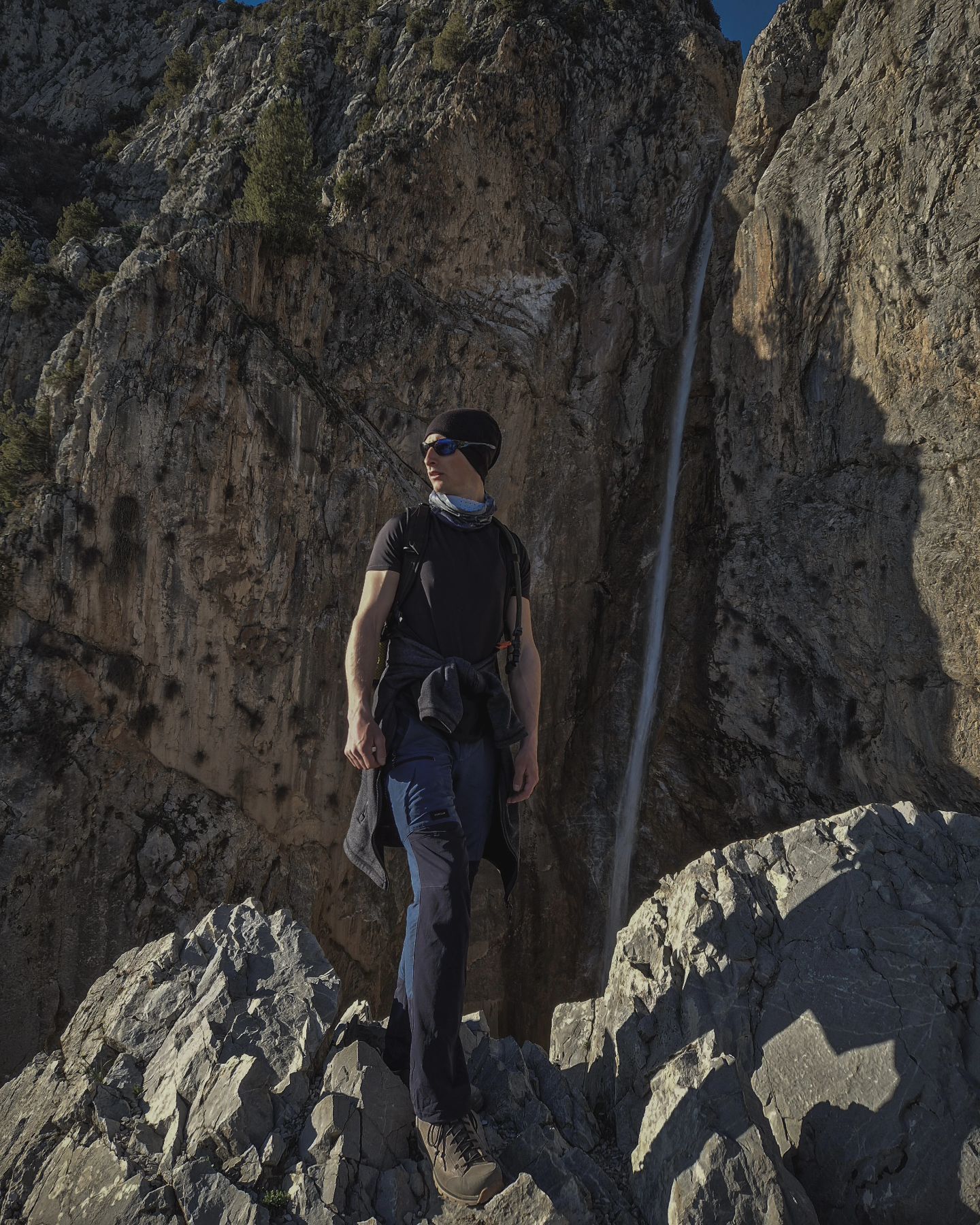
The Juku gorge (Zhuuku, Zauka, Jukku) gorge is the longest gorge on the Terskey Ala-Too ridge, famous for its diverse nature, beautiful views and w

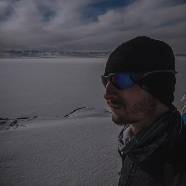
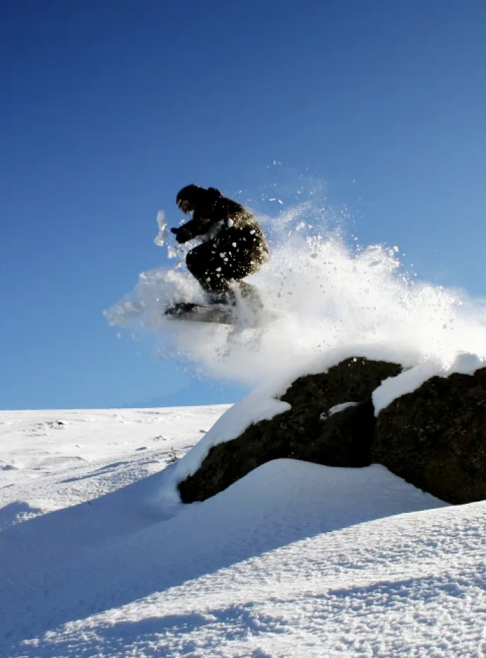
Hi! Welcome to Kyrgyzstan for unforgetable adventure. I promise it will be FANTABULOUS!
HIKING | TREKKING | YOGA | CULTURE | HISTORY
Welcome to «IN THE MIDDLE OF NOWHERE»!
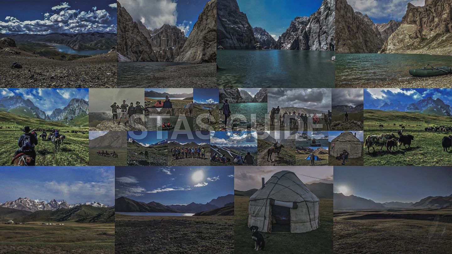
YouTube | Stas Guide | GORMEZIS
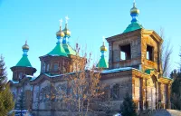
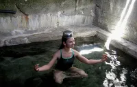
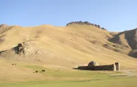
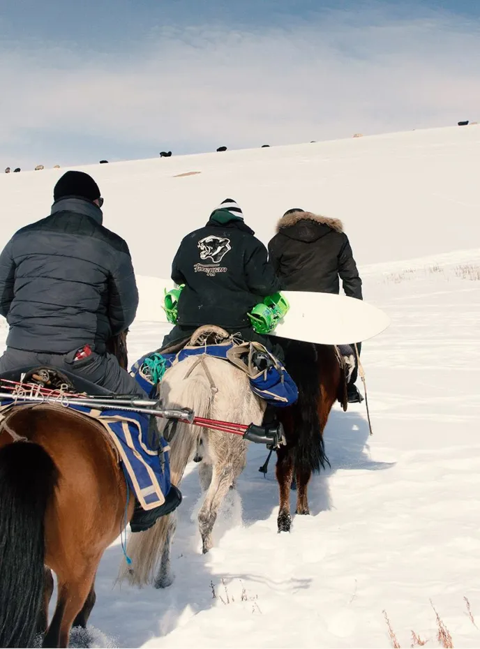
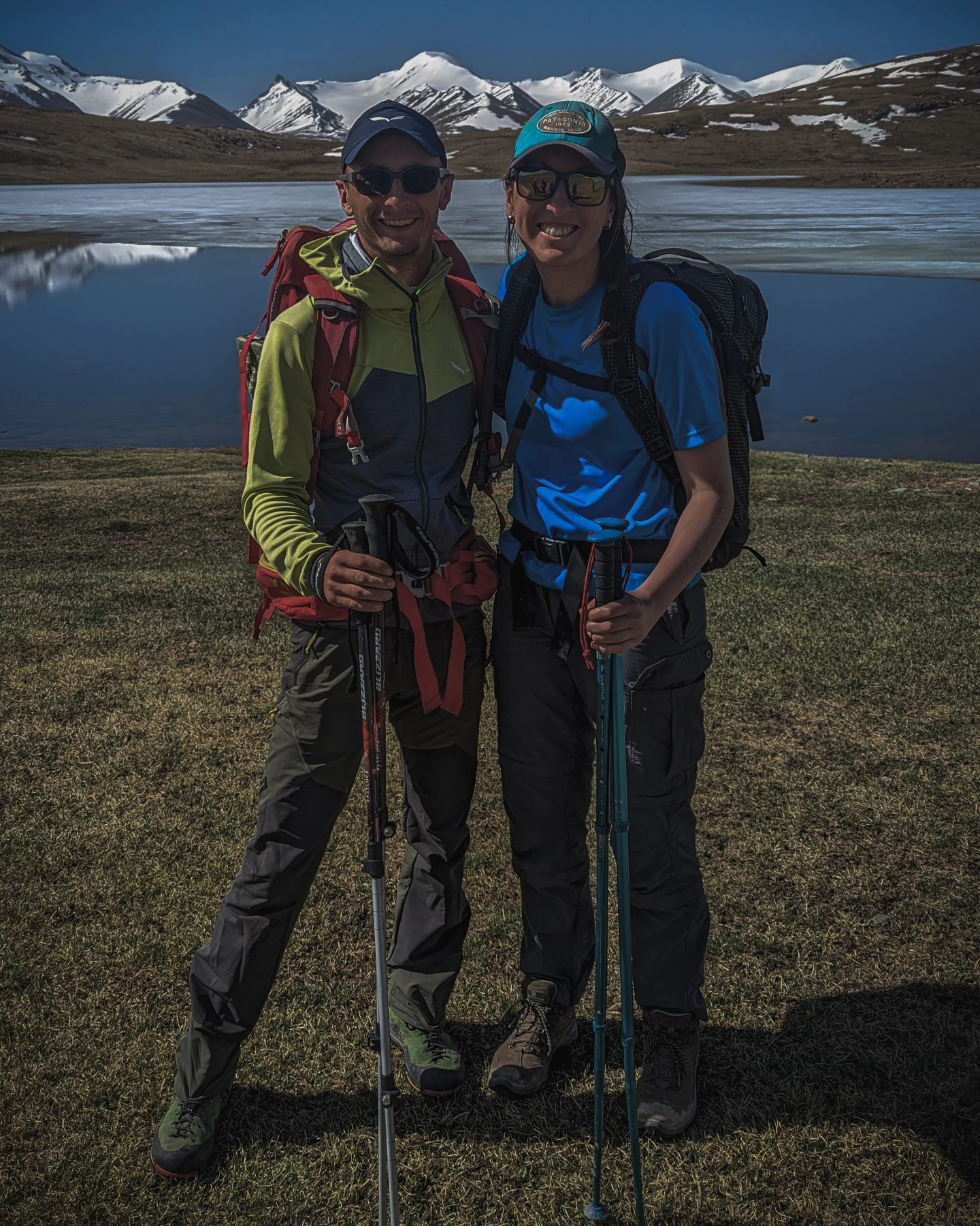
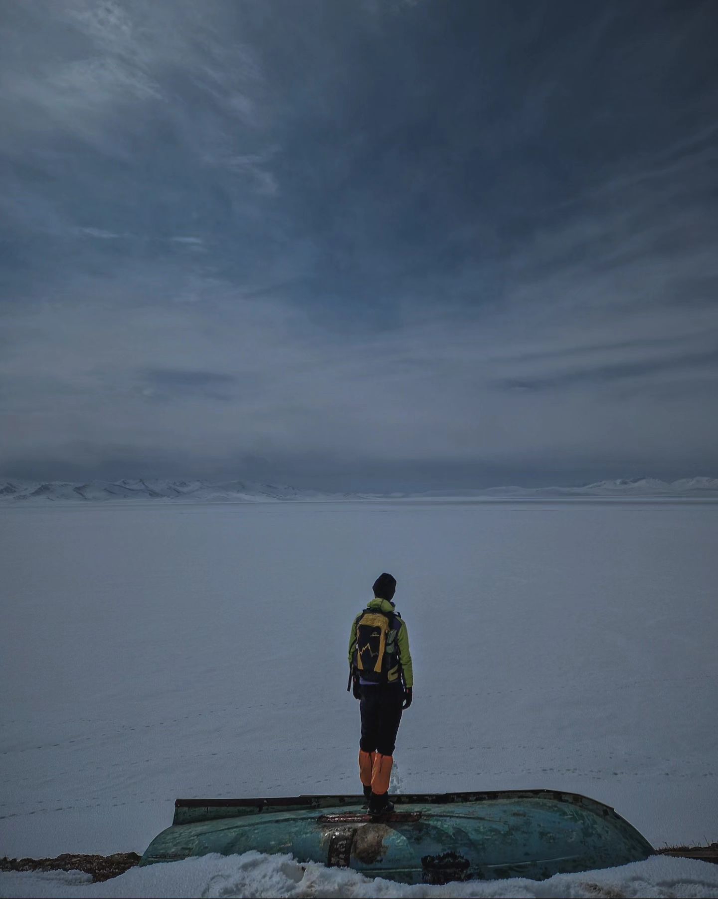
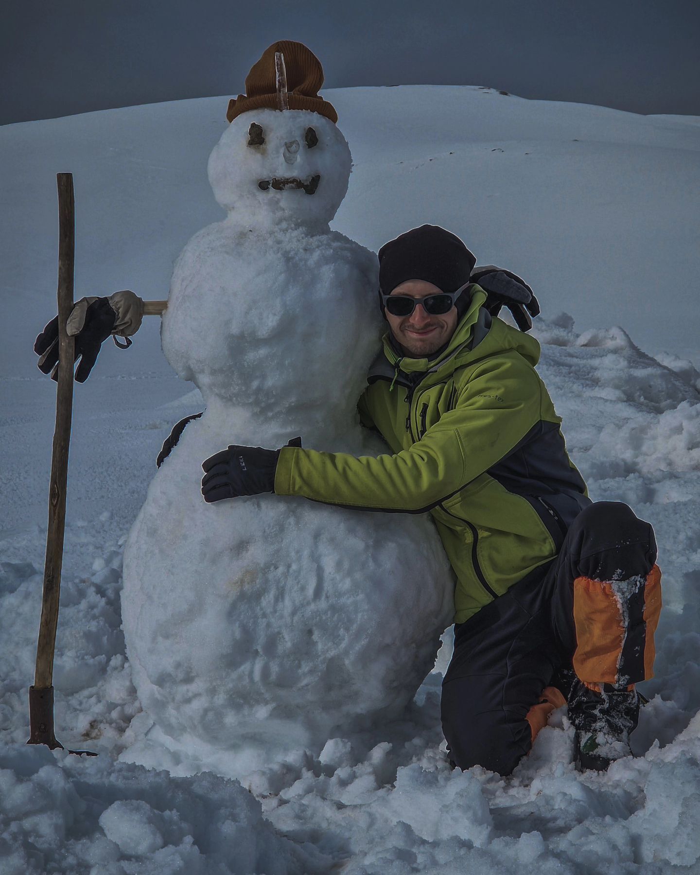
I've been in Issyk-kul region: Enelchek, Jeti-Oguz, Ala-Kol lake, Altyn-Arashan, Karakol. Also I've been in Osh, Uzgen, Naryn in Kel-Suu lake, Ak-Sai valley, At-Bashy, Tash-Rabat. I really like this job because you can talk with all the world living in your homeland, living in your country. You meet many different people, getting interesting information and very good experience. We living in the beautiful country! I'm glad and proud of what I can show people this beautiful places and our amazing nature!
Join us on Facebook!
And keep updated with our tour promotions, or follow us on