Exploring Kyrgyzia from the Ferghana to the lake Issyk Kul
In winter or in summer, explore the Ferghana valley and originel Greek nuts, the heart of Tien Shan and the Issyk Kul region and its great 2nd biggest mountain's lakes of the world.
A Cultural tour for nature lovers
All year around!
10 Days • Discovery tours • Kyrgyzstan
2 people: $1,257
3 people: $970
4 people: $828
5 people: $742
6 people: $685
Program
Arrival at the airport Osh early in the morning
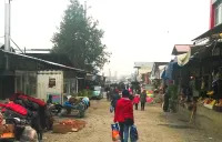
Arrival at the airport Osh early in the morning. Meeting by our English speaking guide. Transfer to the guesthouse. Visit of several monuments of the capital of south Kyrgyzstan: Salomon sacred mountain wich is World heritage Site, supported by UNESCO, square of Alymbek Datka, and largest and most crowded outdoor market in all of Central Asia. Overnight in the guest house in Osh.
Day visit of cities of Osh, Uzgen, Jalal Abad and transfer to Arslanbob
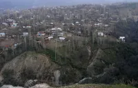
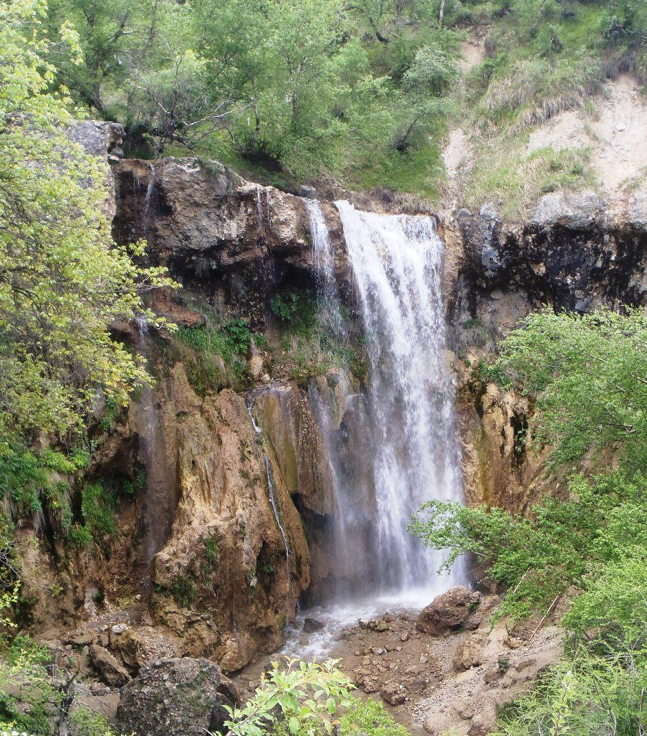
Morning transfer to Jalal Abad. Visit the mausoleums and Minaret Uzgen on road. After lunch, transfer to the village of Arslanbob. The road follows first the border with Uzbekistan and the Arslanbob mountains. The village Arslanbob has a typical architecture and the center of the largest walnut forest in the world. It is said that Alexander the Great came to have a rest there with his army and would have brought Macedonia to Arslanbob nuts. Possibility to walk to a sacred waterfall or discover kyrgyz cuisine. Overnight in guest house.
Walk around Arslanbob and transfer to Toktogul
In the morning we walk to the waterfall and forests. Lunch in Arslanbob. Then drive to Toktogul lake. We drive through canyon of the Naryn River and barages. Taking several pictures at the edge of the cliffs and the lake stops. Then we go round the artificial lake of Toktogul. Arrival in the gorge of the Chychkhan river. Overnight in the guesthouse.
From Toktogul, road to the village of Kyzyl Oï by the Suusamyr valley
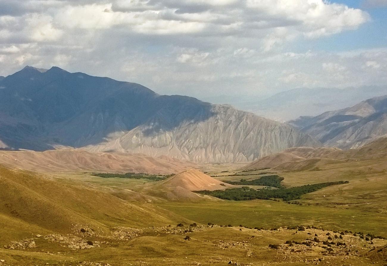
We drive to Chichkhan Canyon, famous for its honey and trout. Then we leave the canyon to lead the Ala Bel Pass (3175m alt.) We open amazing view of the upper valley of Sussamyr. Driving to this valley will take us to the village of Kojomkul, where we visit the small museum dedicated to local hero who wore stones over 600kg. At noon, we descend the canyon Koekoemeren river that leads to the peaceful village of Kyzyl Oi where we share a meal with our host. In the afternoon, we walk the "red hollow", this little dry with red ocher cliffs valley leaves no doubt that lies above one of the finest pastures Tian Chan. Overnight in homestay.
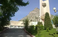
Road to Kochkor throught the Jumgal valley
After our breakfast, we continue down the canyon that offers scenery more amazing. At the intersection with Jumgal river, we ascend the river to these new sources. Stop for lunch at the inhabitant in the village of Djumgal. We discover life "sedimentary!” The nomadic Kyrgyz. After lunch, we go back neck Kyzart (2664m. alt.) And descend to the small village of Epkin, where you will discover the way how to make shirdak, the traditional kyrgyz carpet. Arrival in Kochkor, installation in a homestay. Visit of the town. Dinner and overnight in a homestay.
Visit of Kochkor, then transfer to Barskoon
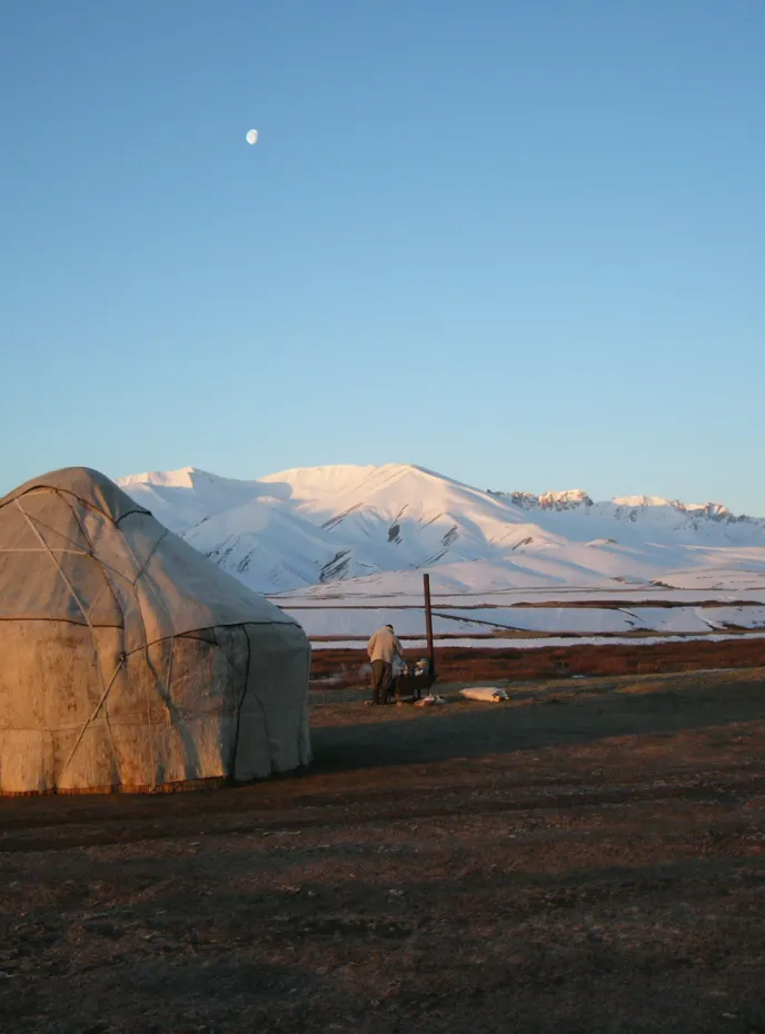
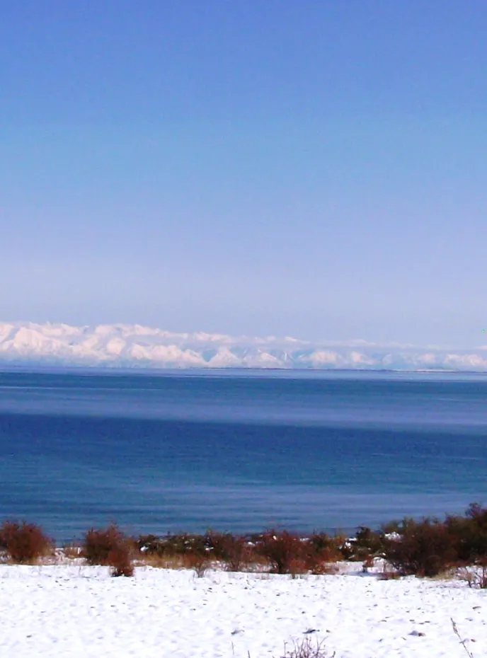
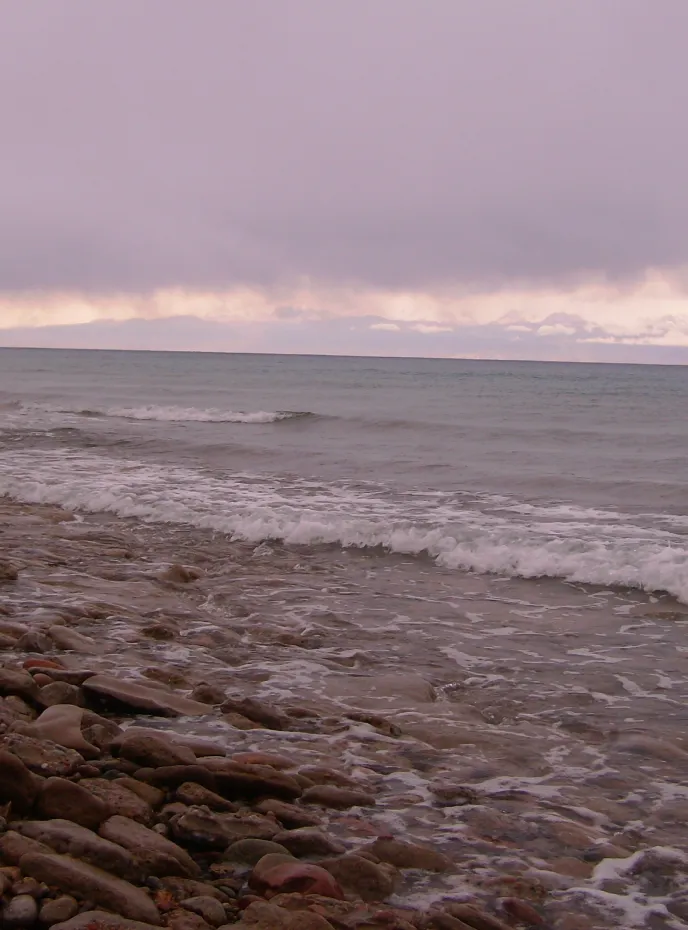
Morning tour of the city: local crafts bazaar and transfer Barskoon the southern shore of Lake Issyk Kul, the second altitude lake after Lake Titicaca, on the called " the pearl of Kyrgyzstan " a sandy shore, huge and deep , without flow. We drive to the village of Kyzyl Tuu for lunch at our host, manufacturer yurt. Then we drive to Bokonbaeva where we visit two eagles and hawks breeders, ancestral tradition received from father to son. Then after getting acquainted with the raptors, we continue our journey to Barskoon to spend the night in a charming guesthouse.
Excursion to waterfalls of Barskoon. Arrival in Karakol
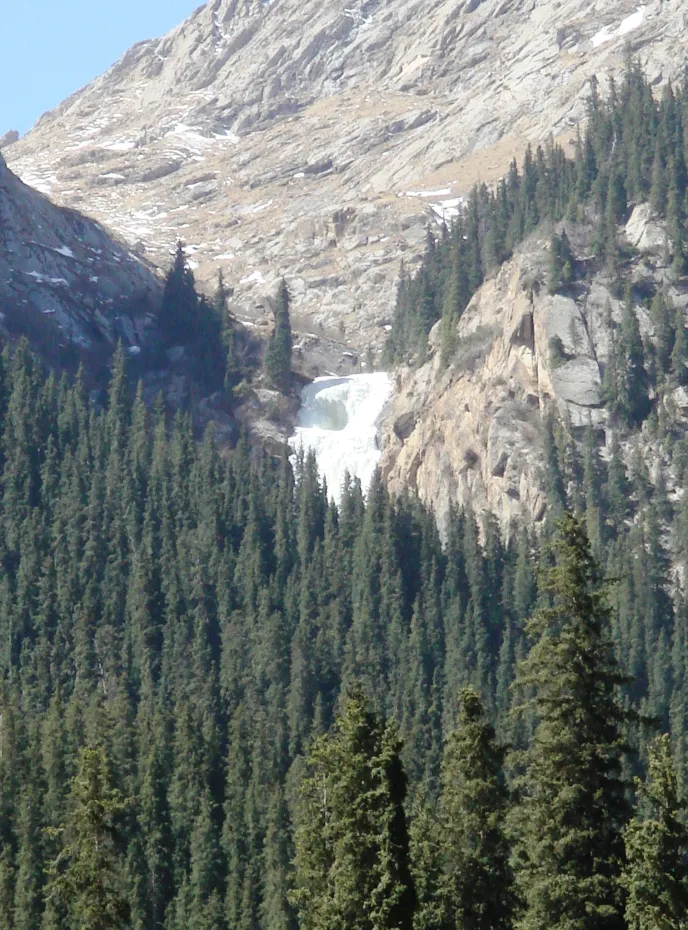
The morning excursion to the frozen (if winter) waterfalls of Barskoon valley, then we drive to valley Jeti Oguz, reflecting means the "Seven Bulls " and the famous red canyons where we take our picnic outdoors and take a short walk from 2 pm the bottom of the valley. Arrival in Karakol, diner in the local restaurant, in town. Overnight in guesthouse .
Day visit of Karakol city
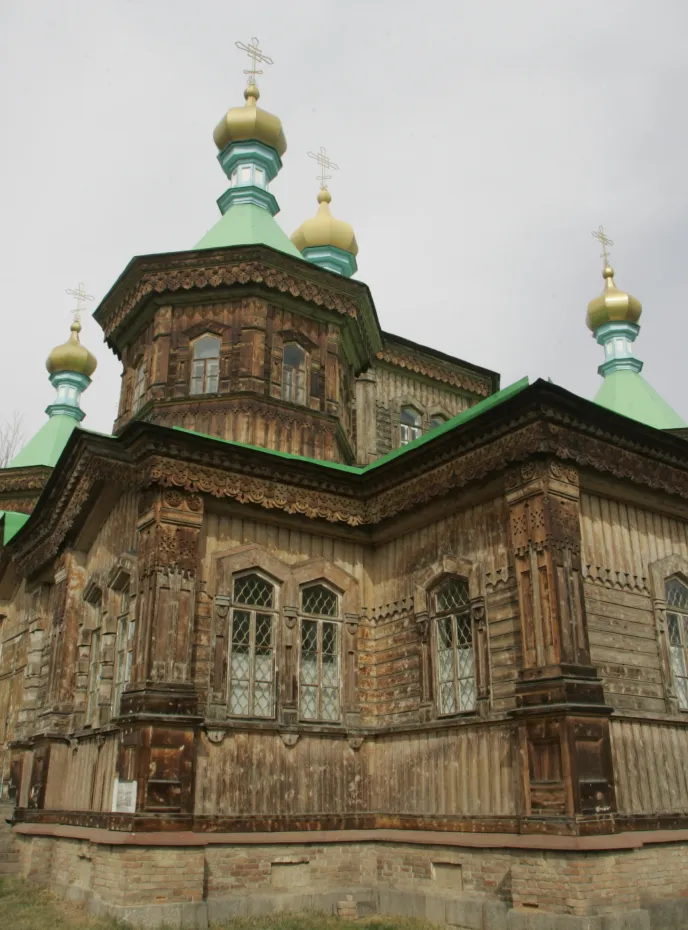
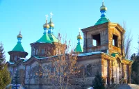
This day is dedicated to visiting the town of Karakol built at the foot of mountains. (Centennial Orthodox Cathedral and Mosque, Zoo, bazaar, museum and memorial Przewalski). In the middle of the afternoon, we return to the guesthouse to take a bath in the Russian (type sauna). Overnight in guest house. Opportunity to ski in the ski resort of Karakol in winter season. ( www.ski-karakol.com )
Drive to Bishkek with visit of petroglyphs of Cholpon Ata and the Burana's tower
Transfer to Bishkek by the north shore of Issyk-Kul Lake. Wake up at 5am, breakfast, then visit the bazaar animals. Then we drive to the Cholpon Ata city, we visit a museum of petroglyphs outdoor and descend slowly to the Boom gorge where we will have lunch. In the afternoon, we will visit the Burana Tower dating from the 11th century, the ancient capital of Central Asia. Arrival in Bishkek, dinner and overnight in guest house.
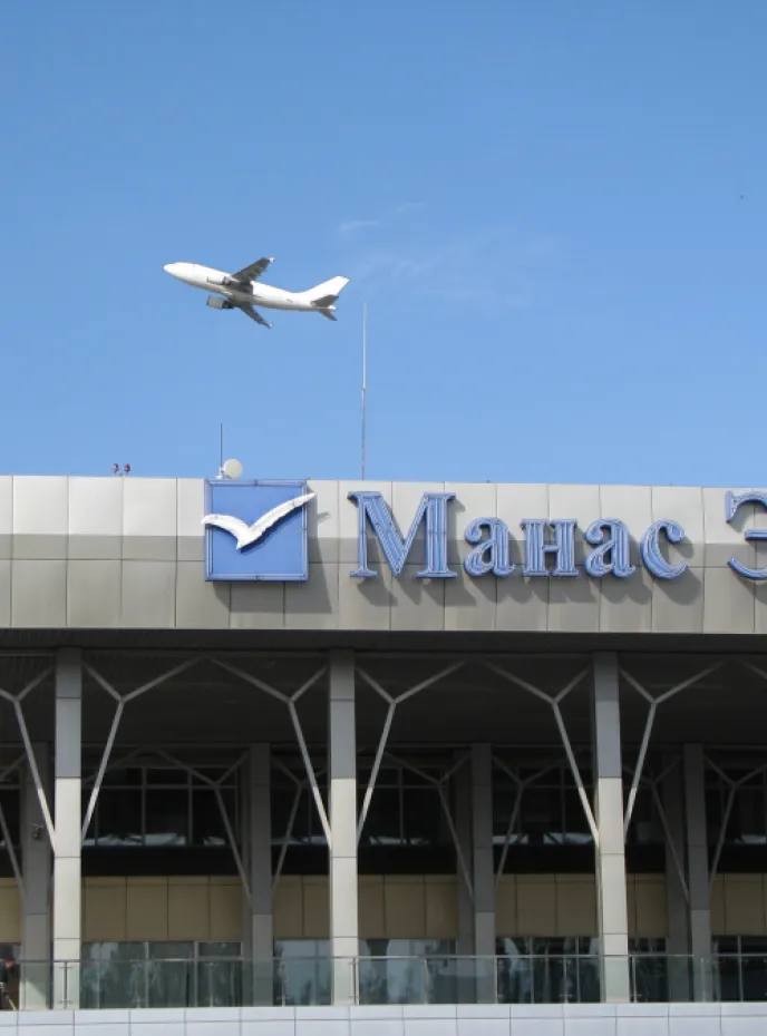
Transfer from Bishkek to Manas International Airport.
Depending on your flight time, your guide will join you to the airport and help you check in for your flight. If your flight is later in the day your guide will show you more places in Bishkek before your flight. We hope you enjoyed your trip to Kyrgyzstan and we hope you come back again to explore other counties in Central Asia with us.
The week with Nomad's Land and Fabien was one of the highlights of our trip to central asia – thank you for many wonderful memories!
Went on a ski/yurt tour with them in Jan 2019. No complaints, driver and guide were excellent, homestays were good. Highly recommended, especailly when I hear from friends about other tours that were nowhere near as good with other companies! Would maybe head back, but snow quality very variable. Summer is the time to go, for hiking.
On your way
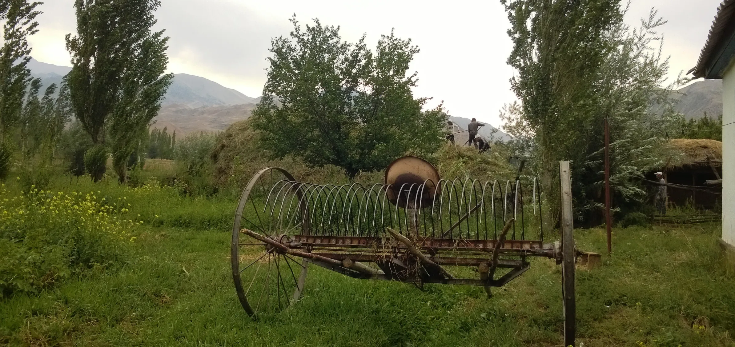
CBT Arslanbob KG
Coordination office of CBT Arslanbob leading by Hayat.
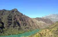
Toktogul water reservoir KG
The Toktogul hydroelectric power station, built in 1975, is the largest and most important power station in the country, producing up to 40% of its
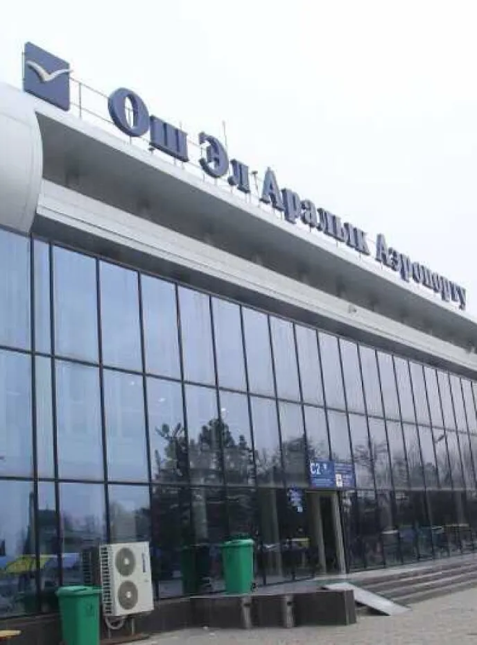
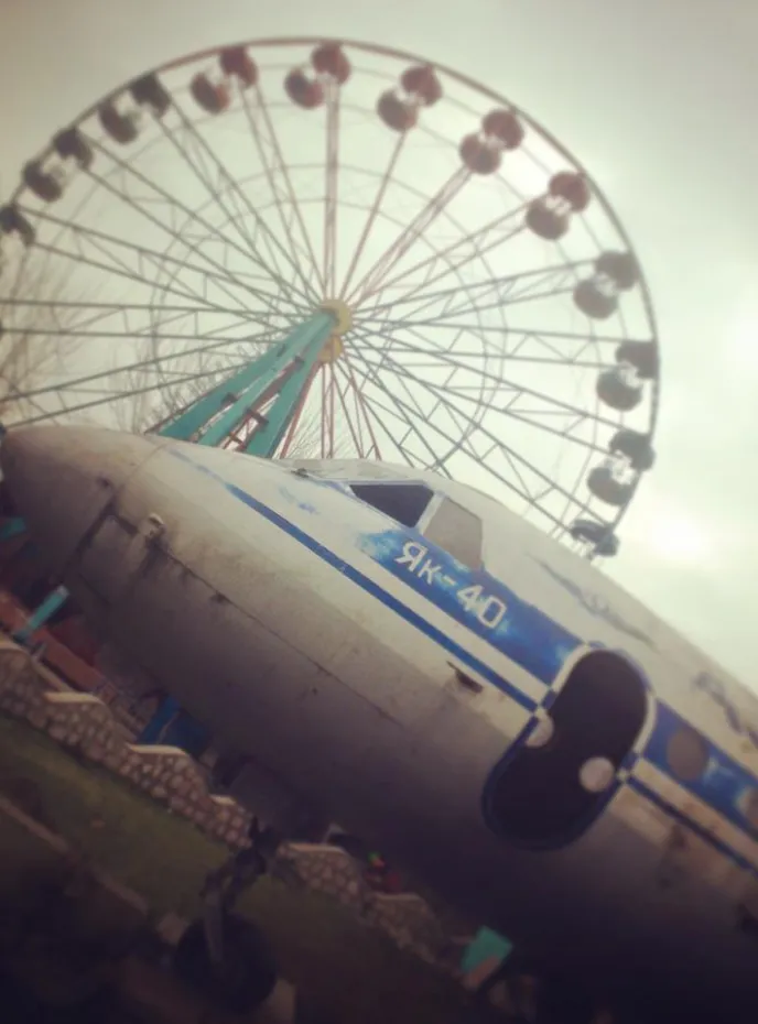
Osh KG
Osh, the second largest city of the Kyrgyz republic, is one of the oldest settlements of Central Asia.

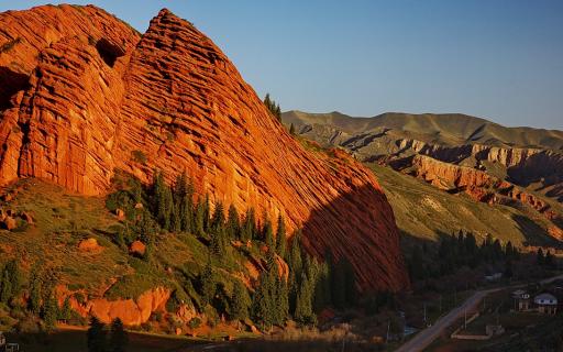
Kyzyl Oy KG
A small village in the heart of the Kekemeren canyon, with red rocks landscape.

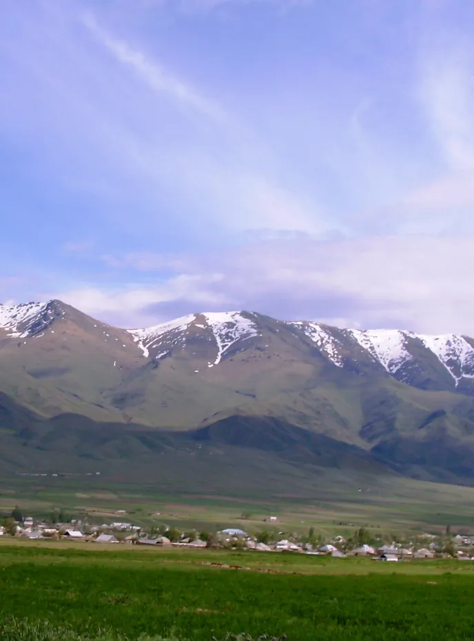
Kochkor KG
Kochkor is a town of shepherds located in Naryn oblast 200 km from Bishkek. It is located at 1800m. alt. The city has 17,000 residents.
Karakol KG
At the eastern tip of Lake Issyk-Kul, Karakol is a fertile garden town of wooden chocolate-box cottages and shady, poplar-lined avenues.
Jalal-Abad KG
Jalal-Abad (also Dzhalal-Abad; since 2003 also spelled Jalalabad and Jalalabat) is the administrative and economic center of Jalal-Abad Oblasty in
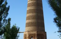
Burana Tower KG
Burana Tower is seven km. far from the city of Tokmok. It is an 11th century minaret, and one of the first buildings of such type in Central Asia.
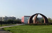
Bishkek KG
Bishkek is one of the greenest cities in Central Asia. About 150 different kinds of trees and bushes are planted in the streets of the city.
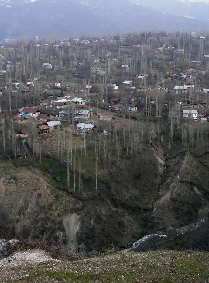
Arslanbob village KG
Arslanbob (written also Arstanpap or Arslanbap) is a wide village in the mountain, north of the city of Jalal Abad.

Info
What is included
-
All transportation in a private vehicle
-
All airport transfers
-
Accommodation as described in the program
-
Meals (3 per day)
-
Bottled water & tea
-
English-speaking guide
-
All the activities listed in the program
-
Entry fees at national parks and/or border zones listed in the program
-
Entry fees at museums and historical sites listed in the program
-
Domestic flights mentioned in the program
-
A contribution to our sustainable development projects
-
Organisation of the trip & local taxes
What is not included
-
International flights
-
International banking fees (PayPal, ...)
-
Travel & repatriation insurance
-
Visas / LOI (if applicable)
-
Alcoholic and soft drinks
-
Personal expenses
-
Additional costs due to unexpected personal events (health, loss of luggage, ...)
-
Tips for guide & driver (always optional, always appreciated)
Ready to go?
Book your tour today.
May we help you?
Our trip designers are at your disposal for building your dream! Feel free to contact us.
- Postal address
-
Bishkek, Kyrgyzstan
- Phone number
Looking for a taylor-made experience? Check our trip planner.
Ecotourism projects
Through various ecotourism projects and initiatives, Nomad's Land aims to increase awareness of ecotourism and responsible travel, for a sustainable development of the tourism sector.
Ayana Zholdoshbek