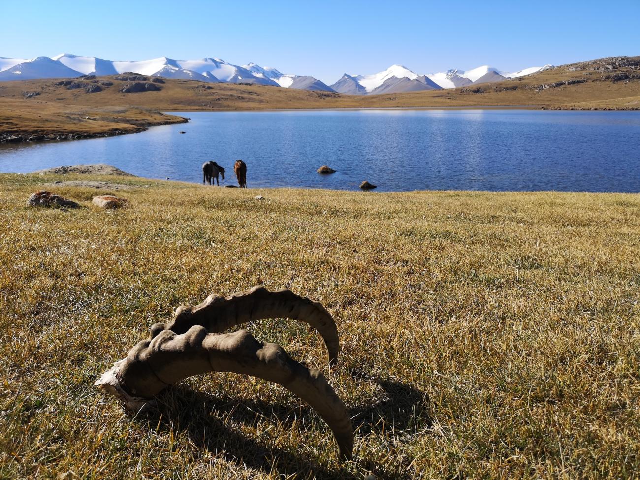
Jailoo
Arabel Suu syrt
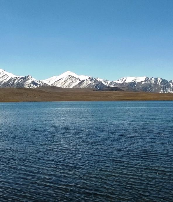
Issyk Kul region • Kyrgyzstan • 3750 m
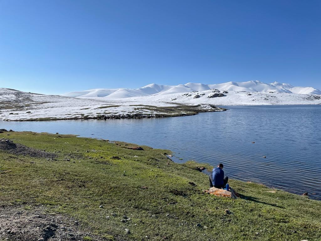
Arabel Suu means "river of the sharped back" and it's also the spring of the Naryn river. But some water of this high plateau flow also in the Issyk Kul bassin.
The Arabel Valley is an ancient peneplain elevated to over 4000 meters above sea level during the Alpine orogeny. This valley is home to numerous glaciers, marked by moraine arcs indicating their past extent. Due to glacial retreat since the Little Ice Age and accelerated melting over the past 40 years due to climate change, numerous glacial lakes have formed within the Arabel Suu Valley, with more anticipated in the near future. Notably, the valley features a unique glacier type known as the Grigoryev Ice Cap. This ice cap blankets the mountain like a cap and extends through several valleys. Ice core samples taken from the Grigoryev Ice Cap revealed that around 8000 years ago, during a warmer climate, the Arabel Suu Valley likely had no glaciers at all.
The geological structure of the Arabel Suu Valley encompasses layers of deposits from the Neogene to the present day, preserving an archive of the evolution of landscape and climate over millions of years. The valley's uplift occurred during the Oligocene period without significant tectonic deformations, a rare phenomenon for the Eurasian relief. Today, the Arabel Suu Valley serves as a popular tourist destination, offering a representative mountain landscape.
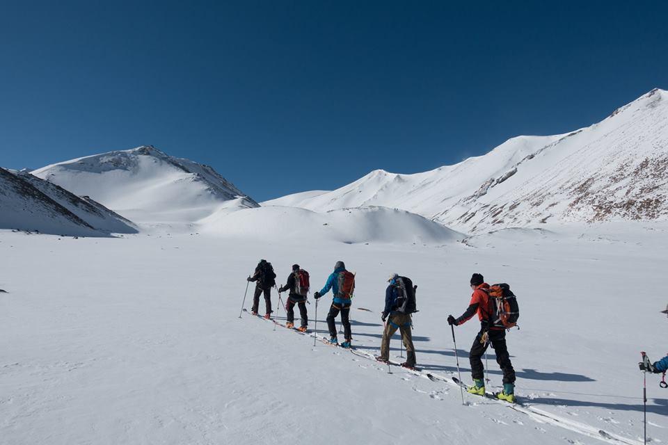
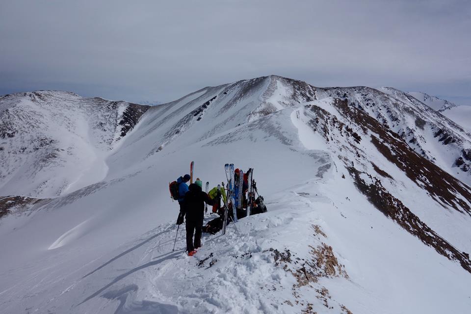
This high plateau is not only a magical place for hikers in summer, but also for skiers in winter and spring. The plateau is surrounded by the Teskei and Soek ranges and part of the Geopark Teskei's inventory.